Windowing and Workspace
The following changes have been made to RiverWare windowing and the workspace.
Application Font
The RiverWare Application Font is set from the Windows then Set Application Font menu. Previously changes to the application font were not updating correctly throughout all RiverWare dialogs. This has been fixed in many locations. For details and limitations, see Font and Text Size in User Interface.
Menu Font Changes for Windows 11
In Windows 11 (version 21H2), menus were hard to read as they had black text with dark blue background. This was improved so that the highlighted menu options should now have white text. Note, Windows changed the styling starting in Windows 11 version 22H2 so you may not see this dark blue background with white text.
Quick Start
A new Quick Start window opens when RiverWare first starts to offer options to continue to an empty workspace or open items from external files. When opening items, select a model and, optionally, one or more SCTs and RPL sets. See a sample Quick Start in Figure 1.15.
For more information, see Opening Models and Files Using the Quick Start in User Interface.
Figure 1.15 Screenshot of Quick Start Window

Run Controls Panel
A new Run Controls Panel is available on the workspace as described in Run Controls Panel on the Workspace.
Web Map View
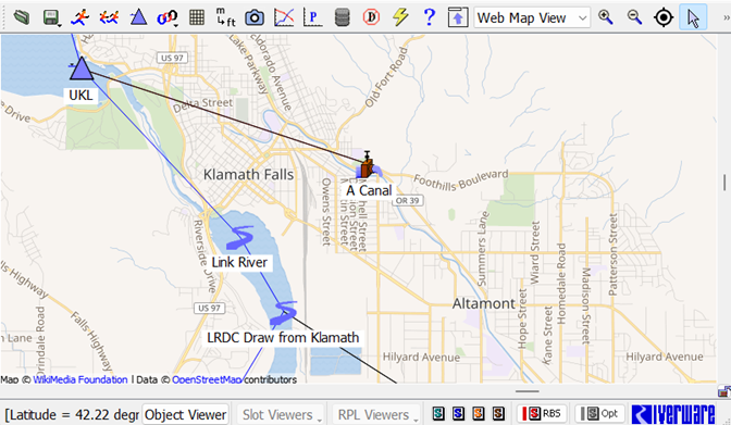
A new Web Map View was added to the workspace views. The Web Map View of the workspace provides a dynamic map provided from the Open Street Maps web service with RiverWare objects displayed on top.
For more information see Web Map View in User Interface.
Figure 1.16 Sample zoomed-in Web Map View

The following are some key features of the Web Map View.
• The Web Map View shows a background map provided by the Open Street Maps web service. As you zoom in, the map’s level of detail increases. As you zoom out, the level of detail decreases.
• The Web Map View shows Latitude and Longitude for the object coordinates and for the cursor.
• Export and import object coordinates using a shape file.
• A Home button is provided on the tool bar to get back to one defined location.
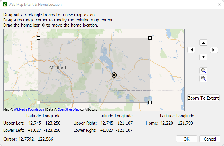
• Specify the map extents and home location using a graphical editor.
Figure 1.17 Screenshot of Web Map View Extent Dialog

Revised: 07/09/2023